Structure you can read
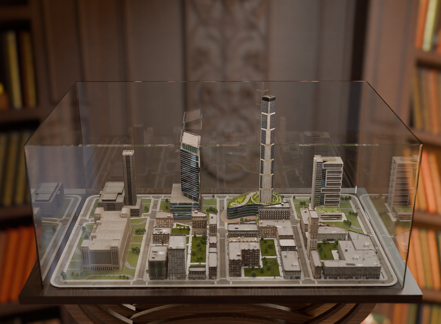
Roads, regions, plots and masses remain distinct parts of the urban model.
iCity turns street structure into connected blocks, plots, massing, materials and urban detail—so you can work at city scale without giving up control of the plan or the look.
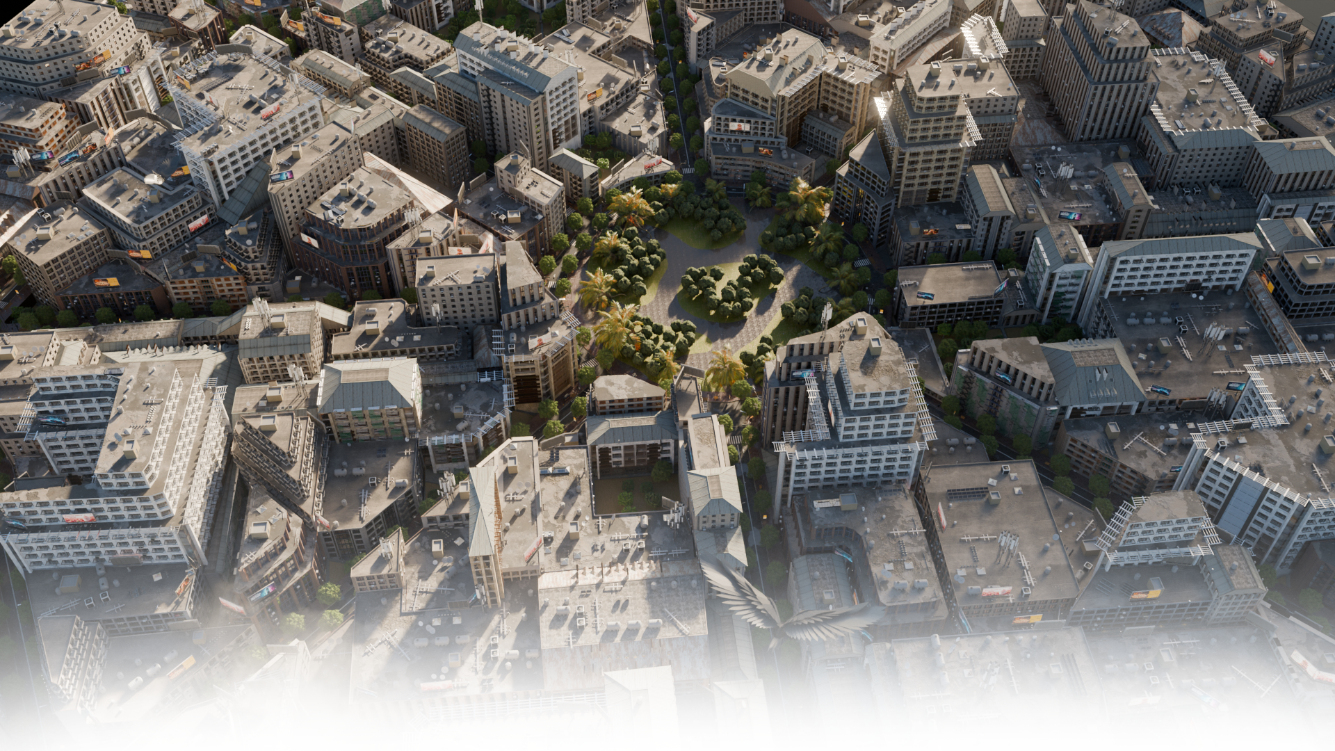
Create one cinematic master view of a complete district. The road hierarchy, block structure and material identity should read from the aerial scale, with a human-scale foreground proving finish quality. No interface, labels or generic sci-fi styling.
iCity does not begin by scattering buildings. It begins with the relationships that make an urban place legible, then carries those relationships from planning logic to visual character.
Create an exploded axonometric of one finished district: road graph at the base, regions and plots above it, building massing, then the dressed city. Use one locked camera and Parametra colours for layer separation.
Roads, regions, plots and masses remain distinct parts of the urban model.
Change the decisions that shape the city instead of repairing a frozen result.
Keep editing, dressing and presenting the city after its first generation.
Begin with a road idea, develop the urban fabric, give it character and keep revising. Each step carries the same project forward so decisions remain connected.
A clean product capture showing a real road graph being drawn over light site context. Keep the interface legible, the cursor action obvious and the city area large enough to understand.
Lay out the streets and shape the hierarchy that will organise everything around them.
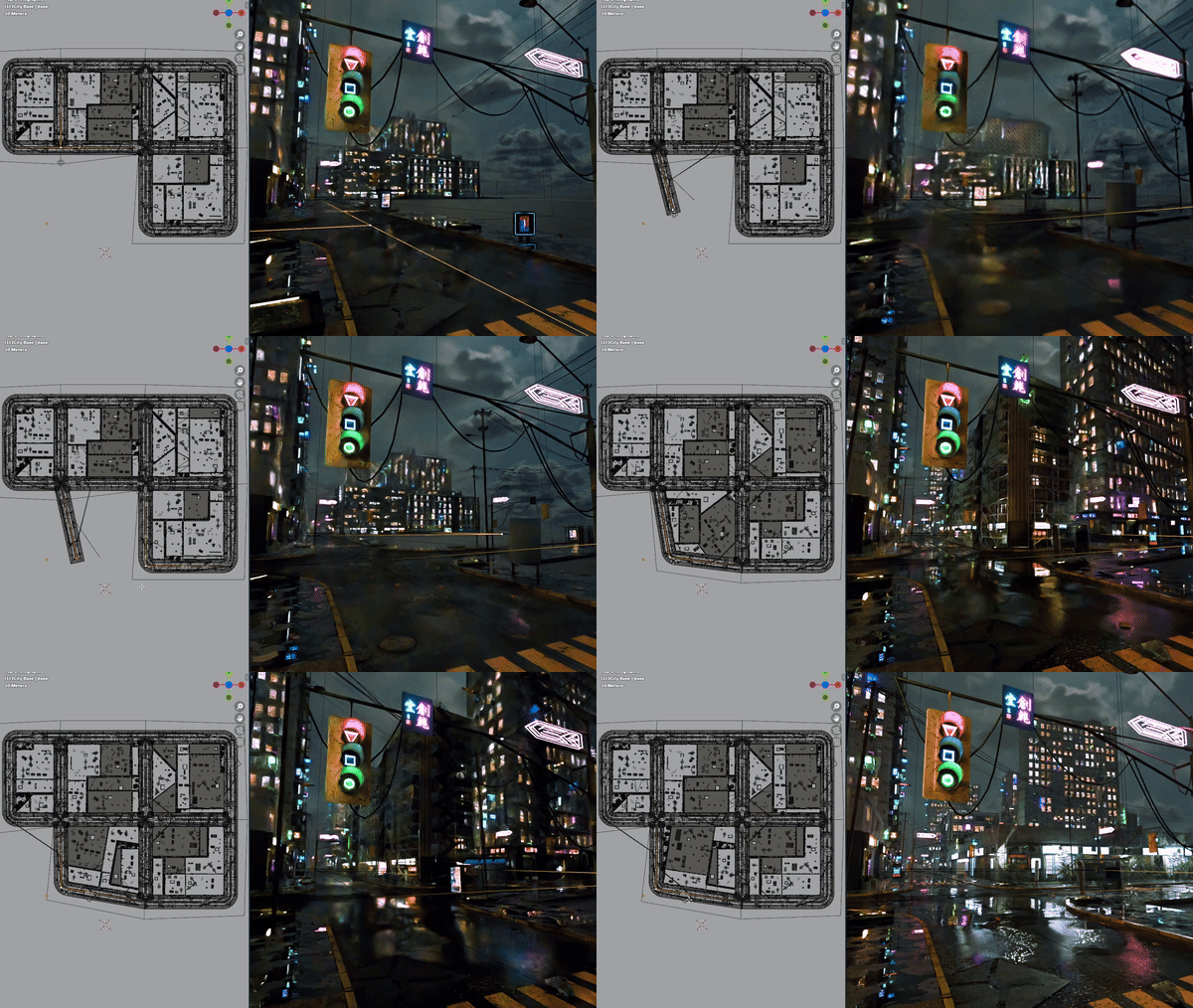
A three-state render or short loop: road graph, resolved plots, then building massing. Use the same camera for every state so the transformation is unmistakable.
Regions close, plots divide and building masses rise from the logic of the plan.
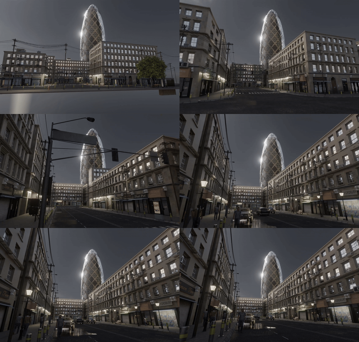
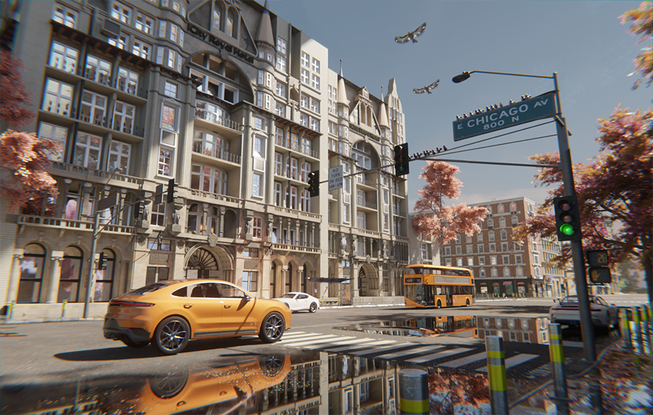
A street-level render that clearly shows coordinated façades, paving, road markings, vegetation and street props. The result should feel authored rather than random.
Apply materials, props, markings and surface detail as one reusable visual system.
A before-and-after comparison from one locked camera. Highlight a meaningful plan change and show the dressed city resolving around it without changing the art direction.
Move a road, split a plot or revise massing while the city keeps its visual language.
Structure, visual identity and iteration stay connected across the project, so the city can evolve without losing the decisions that give it coherence.
Roads establish the hierarchy. Regions, lots and building masses resolve around them as connected parts of the same model. The result stays readable enough to select, inspect and direct.
An oblique product render with roads, regions, plots and massing colour-coded as distinct layers. Include a restrained UI edge or selection highlight to prove editability without turning this into a software screenshot.
Describe a direction, review the guides, then build a theme that coordinates materials and props across the district. Reuse what belongs to the project, replace one weak asset, or redirect the whole visual language without rebuilding the urban structure.
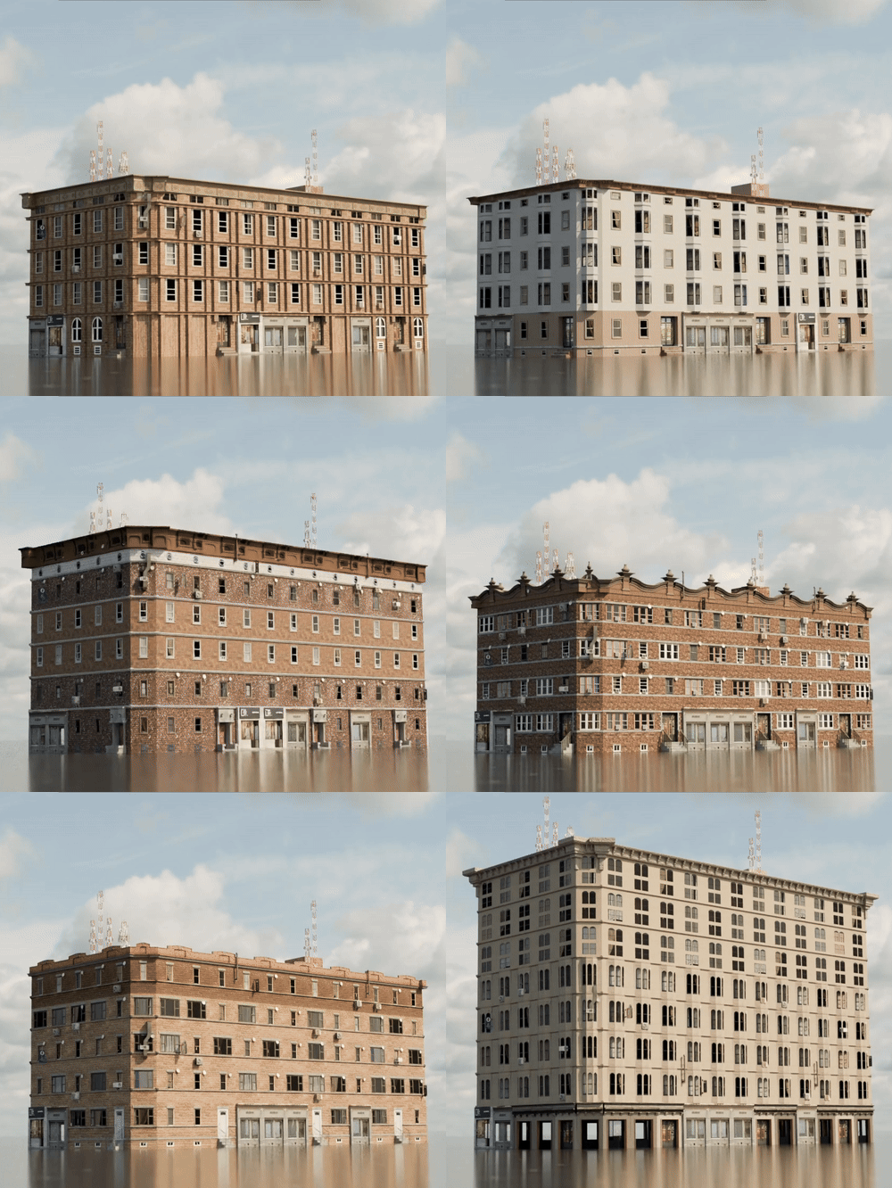
A precise split-screen of the same street and camera in two art directions. Geometry must match exactly; only materials, props, vegetation and atmosphere should change.
Draft and Design remain separate, so a late planning decision does not force a new visual project. Refine structure and appearance independently, then resolve them together again.
A four-panel sequence from a single project: original street, edited alignment, updated plots and final re-dressed result. Use annotations sparingly to identify the changed decision.
From the district scale to the pavement edge, the same underlying system holds together across different densities, atmospheres and terrains.
One visual language / many urban conditionsWide aerial at late afternoon. Show a complete road hierarchy, mixed building scale, waterfront edge and enough foreground detail to communicate finish quality.
High oblique view focused on connected blocks, varied plots and a legible street network. Avoid fog or effects that hide the procedural structure.
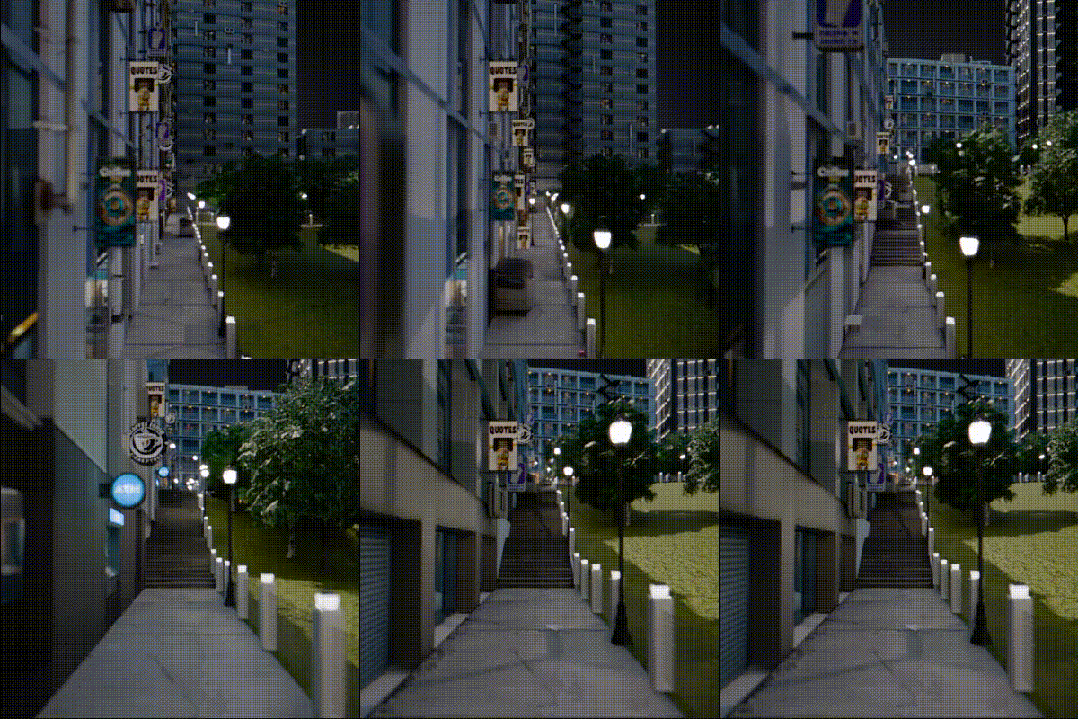
Eye-level view with façades, pavement, markings, vegetation and props all visible. Include people only for scale; the generated place remains the subject.
Calm daylight view of smaller plots, residential massing and landscape. Show that the system handles more than dense city-centre imagery.
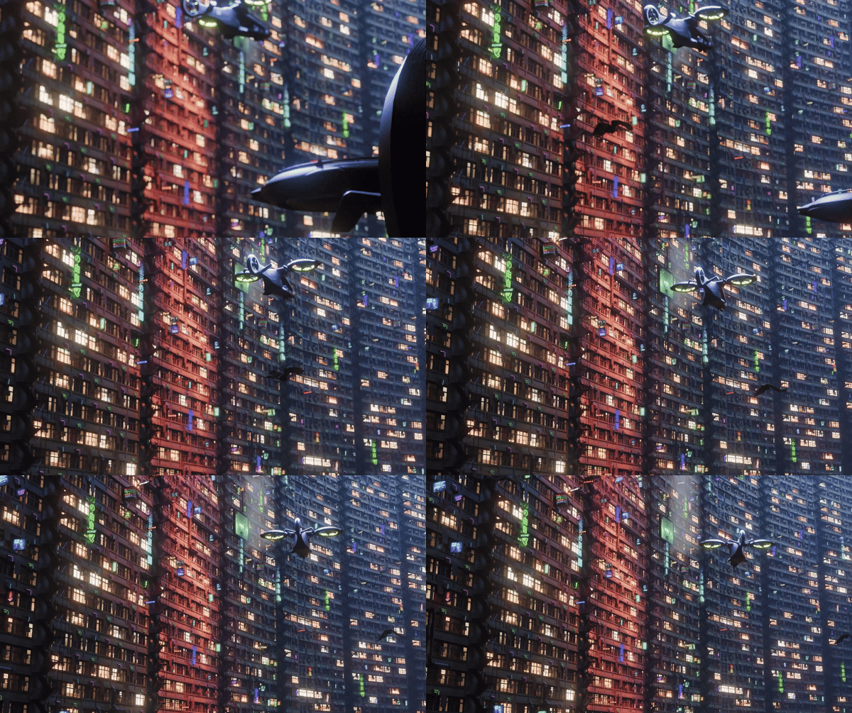
The same authored quality after dark: readable streets, restrained lighting and a distinct material direction. Avoid generic neon or science-fiction styling.
A district meeting visible terrain, parks and green buffers. Make the relationship between built fabric, slope and landscape easy to read.
Planning teams, visualization studios and digital production groups can begin from the same structured city and take it toward different outcomes.
A professional planning scene with two massing options for the same site, seen from one camera. Emphasise clarity of comparison rather than presentation effects.
Compare structure, density and massing while the plan is still open to change.
A designed building or development in focus with a coherent generated district around it. The context should support the architecture without looking like a generic background plate.
Build credible city context around the site that is receiving the detailed design effort.
A clean technical render showing a complete urban environment with readable lane, block and building structure. No unsupported simulation overlays or fictional analytics.
Start with structured streets and districts instead of placing the urban world object by object.
The road logic, editable urban structure and reusable visual assets remain useful after the first presentation. That is what makes iCity a working system rather than a one-off image generator.
A wide, calm final render of the hero district at blue hour. Reserve clean dark space on the left for the message and keep the strongest building cluster on the right.
Background render · 3:1 · 3000 × 1000 px · /marketing-shots/icity-cta-01.*Request access to iCity, or bring us the urban workflow you need to solve.